
Cóndores and Águilas:
El Chaltén Viewpoint Hike
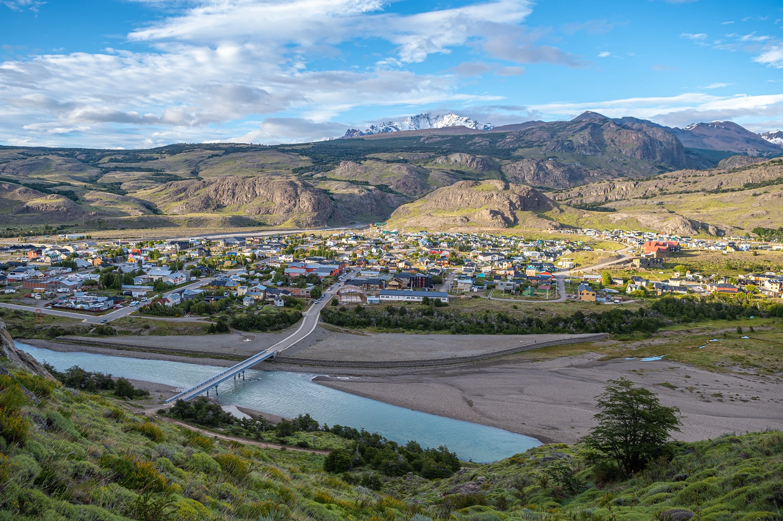
Climb above El Chaltén for views over the town and mountains, then follow a branch towards the open Patagonian steppe and Lago Viedma.
Getting to the trailhead
From El Chaltén, walk south towards the road bridge over the Río Fitz Roy, cross it and continue to the national park visitor centre. The signed viewpoint trail starts in the centre's grounds, at Portal Los Cóndores. You can walk there from town; a local taxi can shorten the approach if needed. Agree the fare and pickup arrangements locally.
All distances and times here begin at the visitor centre and finish there. Add the walk from your accommodation. The municipal trail map lists Cóndores at 1 km and 30 minutes one way, and Águilas at 2 km and 45 minutes one way, with 100 m of height gain for each. Our return times include time to pause; height gain is the map's figure, not cumulative ascent.
The map below marks the approximate visitor centre, rather than a surveyed trail or the branch junction. Use the national park trail map and current signs for the walk, and save a map offline. Our El Chaltén map guide shows other town services and trailheads.
The walk to Los Cóndores and Las Águilas
The routes share their initial climb before separating at a signed fork. Both are out-and-back walks, so there is no need to commit to the longer branch at the start.
Climb from the visitor centre
From the visitor centre grounds, follow the signed path for Mirador de los Cóndores. The trail climbs through low vegetation, with openings back towards town and the river valley. At the first signed junction, follow Cóndores rather than the longer Loma del Pliegue Tumbado trail.
Choose a viewpoint at the branch
Higher up, a signed fork separates Las Águilas from the continuing path to Los Cóndores. The Cóndores lookout is roughly 10 minutes beyond this junction. Keep the fork in mind: to see both viewpoints, return here after the first one and take the other branch.
Visit the lookouts and retrace your steps
At Cóndores, look over El Chaltén towards the Fitz Roy and Torre ranges. The gentler Águilas branch leads towards a different panorama, with Lago Viedma and the steppe to the south. Each lookout is a turnaround: return to the fork and descend the shared trail to the visitor centre.
The trail to Las Águilas leaves before you reach Cóndores, so visiting both means retracing the short Cóndores spur to the fork. Follow the signs on the way down as well as on the way up. Allow time to stop at each lookout and watch your footing on rocky or loose ground.
Which viewpoint should you choose?
Choose Los Cóndores for the shorter walk and the view over El Chaltén towards the mountains. Choose Las Águilas for the broader view of Lago Viedma and the steppe, or visit both for the contrast between them.
For both, allow roughly 4-5 km and 2-3 hours from the visitor centre, including stops. This combined distance is an estimate: the municipal figures are for each destination separately, and the two routes share an approach. Add your walk across town and leave more time if your group prefers a slower pace.
Clear weather matters most if your priority is seeing the peaks from Cóndores. Clouds can hide them, while wind can make either lookout uncomfortable. If conditions worsen at the fork, take the shorter option or return to town rather than feeling obliged to reach both.
Weather, park access and what to bring
The viewpoints are exposed to Patagonian wind, even when town feels calm. Gusts can make standing near an edge difficult, and rain, snow or ice can make the path slippery. Check the El Chaltén forecast and ask park staff about current conditions. Turn back if the wind or footing makes the walk unsafe for your group.
National park entry is required at Portal Los Cóndores. As checked on 27 October 2026, APN lists general day entry at ARS 50,000, with other rates and exemptions by category. Check the current price and buy through the official ticket portal. The park access summary explains the wider arrangements; consider the cost when choosing a short standalone outing.
Wear shoes with grip and bring water, a warm layer, a windproof waterproof jacket and sun protection. Carry a headtorch if walking late, especially if you stay for sunset, and allow enough daylight for the return. Stay on marked paths and take your rubbish back to town. See the day-hiking packing list for more detail.
Frequently Asked Questions
Will I see condors on the hike?
Condors sometimes soar over the valleys near Mirador de los Cóndores, but sightings are never guaranteed. Scan the sky and give any wildlife space; the viewpoint is worthwhile for the landscape even when no birds appear.
Can children do the Cóndores and Águilas walk?
The viewpoint trails can suit children comfortable with the distance and a climb on uneven ground. Choose the shorter Cóndores outing if needed, and keep children close on exposed ground and near viewpoint edges.
Do I need a guide?
The signed Cóndores and Águilas trails can be walked independently when open and conditions suit your experience. Ask park staff about conditions and take an offline map; a local guide can add interpretation if you prefer.
Explore more El Chaltén hikes
Compare viewpoints, a waterfall walk and longer mountain trails.